Share the story of what Open Access means to you
![a graphic of a lock that is open, the universal logo for open access](/assets/oa-lock-logo-lg-a95dd8d9f9fe5e21ab4499ffd0c8661e55f7d788ae0a03f19a6749eb82e3e899.png)
University of Michigan needs your feedback to better understand how readers are using openly available ebooks. You can help by taking a short, privacy-friendly survey.
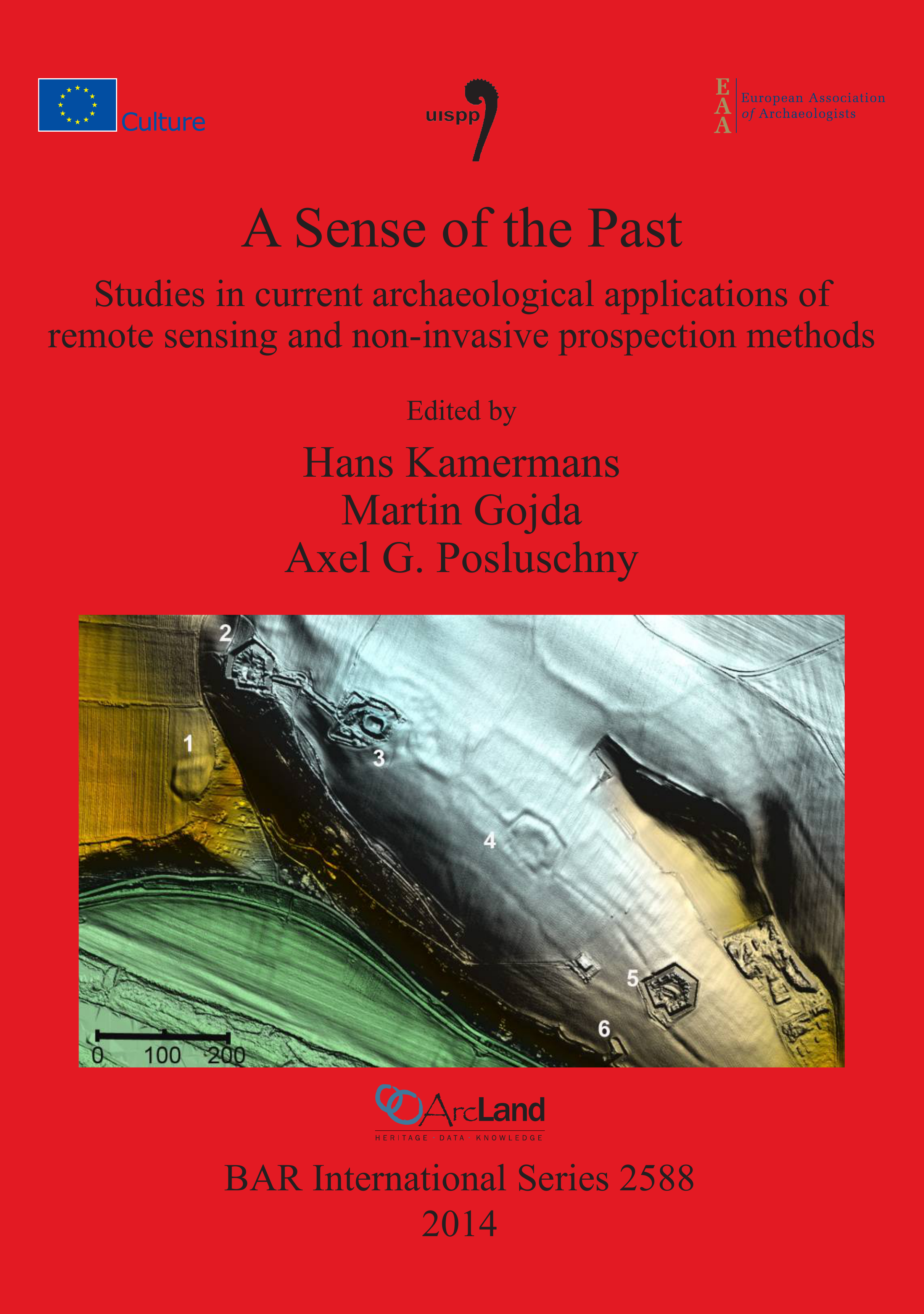
A Sense of the Past: Studies in current archaeological applications of remote sensing and non-invasive prospection methods
Hans Kamermans, Martin Gojda and Axel G. Posluschny
This volume groups together papers presented at a Commission 4 session at the XVI UISPP World Congress in Florianópolis, Brazil (4-10 September 2011), a UISPP commission 4 session in Leiden, The Netherlands (2nd November 2012) and at a session entitled Advanced Prospection Methods for Cultural Heritage Management – Experiences and Challenges during the EAA Annual Meeting in Helsinki, Finland (29th August – 1st September 2012).
-
Front Cover
-
Title Page
-
Copyright
-
Table of Contents
-
List of Contributors
-
Introduction
-
A Decade of Ground Truthing: Reappraising Magnetometer Prospection Surveys on Linear Corridors in light of Excavation evidence 2001-2010
-
Archaeological Use of Geophysical Methods in Norwegian Cultural Heritage Management – a Review
-
Preservation Assessment of Ancient Theatres through Integrated Geophysical Technologies
-
Mapping the Archaeological Landscape of Palaepaphos through Remote Sensing Techniques
-
Non-destructive Survey on Fortified Settlement in Wicina, Jasień Commune, Lubuskie Voivodeship, Poland
-
A Combined Archaeological Survey of the Historical Landscape Surrounding the Prominent Hill fort of Vladař, Czech Republic
-
Applications of Airborne LiDAR for Cultural Heritage Management Initiatives in Northern Ireland
-
Testing the Potential of Airborne LiDAR Scanning in Archaeological Landscapes of Bohemia: Strategy, Achievements and Cost-effectiveness
-
Studying Prehistoric Dryland Agricultural Systems in Central Arizona through Aerial LiDAR, Pedology, Hydrology, and Paleobotany
-
Aerial Archaeology – a Partner in Archaeological Heritage Management An Example from Belgium
-
A New Method for the Detection Validation of Architectural Remains Using Field Spectroscopy: Experimental Remote Sensing Archaeology
-
Automated 3D-object Documentation on the Basis of an Image Set
-
Exploring Differences: Implications for FCVA Visibility Indices and Scales of Analyses
-
Invention and Innovation Processes in Prehistoric Societies
![](/image-service/h128ng5081585564710/full/full/0/default.png)
Citable Link
Published: 2014
Publisher: BAR Publishing
- 9781407312163 (paperback)
- 9781407341842 (ebook)
BAR Number: S2588